
Iturmendi
The name of the spring and the mountain

The name of the spring and the mountain
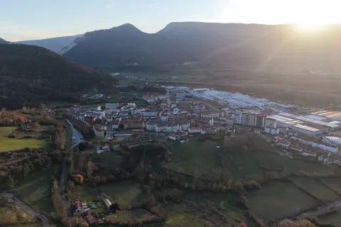
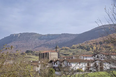
Where the name derives from the spring and the mountain, and the River Arakil flows through the valley, Iturmendi unfolds naturally between the Urbasa and Aralar mountain ranges. The essence of the place is felt in the solidity of its ashlar houses, built by generations of mule drivers, and in the tranquillity of the oak groves that still bear the traces of ancient paths. It is a place where stone preserves stories and water whispers a continuous tale, inviting you to explore it at a leisurely pace and to recognise in every corner the living identity of Sakana .
The municipality is situated at an altitude of 528 metres, in north-western Navarre, within the district of Pamplona and the region of La Barranca. Its municipal area stretches between the foothills of Urbasa to the south and Aralar to the north, bordering Bakaiku , Urdiain and Ataun.
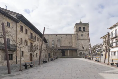
Its origins date back to the late 14th century, resulting from the union of the settlements of Aitzaga and San Pedro. During the 18th century, it experienced a period of prosperity linked to mule-driven transport and trade, reflected today in the stately architecture of the town centre. It forms part of the Basque-speaking area, where the Basque language maintains an active presence, particularly amongst the younger generations and in the educational sphere, such as at the Arrano Beltza state school.
Iturmendi offers a range of places where historical heritage, traditional architecture and routes linked to the natural environment come together.
Resuelve las dudas más habituales sobre los diferentes parques y zonas naturales: cómo llegar, qué visitar, normas, rutas y servicios para planificar tu experiencia con facilidad.

Living Stone
Online